cross-country flying
Aviation Adventure: Planning Safe, Legal Flight Journeys
26 Aug 2026 · 17 min read
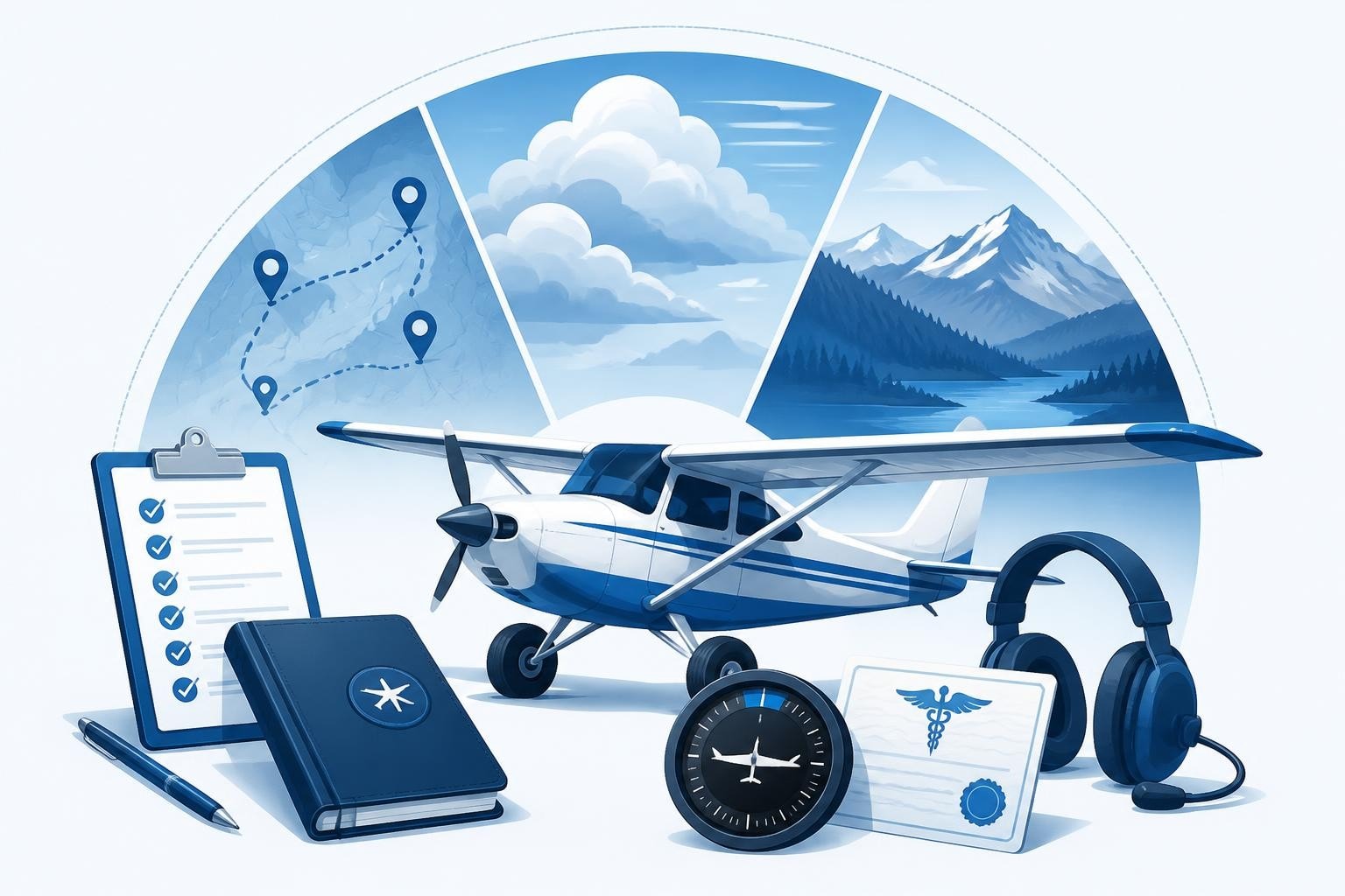
An aviation adventure transforms routine flying into purposeful exploration, whether you're planning a cross-country circuit through challenging terrain, a backcountry landing at a mountain strip, or a coastal tour exploring new airspace. Each aviation adventure requires deliberate planning that balances ambition with airmanship: verifying your currency meets regulatory standards, understanding the terrain and weather along your route, and ensuring your logbook reflects the skills and recency the journey demands. The reward is flying that sharpens your judgement, builds experience, and reminds you why you earned your licence in the first place.
What Qualifies as an Aviation Adventure
Adventure flying isn't defined by a specific aircraft type or destination. It's any flight that takes you beyond familiar patterns and demands active decision-making.
Common aviation adventure categories include:
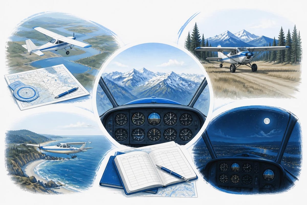
- Cross-country flights exceeding 150 nautical miles with multiple diversions and unfamiliar airspace
- Backcountry operations to grass, gravel, or high-elevation strips
- Coastal and island-hopping routes requiring over-water navigation and weather interpretation
- Mountain flying through passes, ridges, and density-altitude environments
- Night cross-country flights combining instrument skills with visual pilotage
Each category tests different competencies. A mountain aviation adventure requires weight-and-balance precision, performance calculations at high density altitude, and recognition of terrain-driven wind patterns. Island-hopping demands fuel planning with suitable alternates, radio procedures for oceanic transitions, and the confidence to turn back when coastal weather closes in.
Regulatory Currency for Adventure Flying
Before you file for any aviation adventure, confirm you meet the regulatory minimums. Under EASA Part-FCL, pilots must complete three take-offs and three landings in the preceding 90 days to carry passengers (FCL.060). For single-pilot single-engine aircraft, that's straightforward. For night flying, those three cycles must occur at night. Tailwheel, seaplane, and mountain-strip endorsements often carry additional recency requirements published by your national authority or insurance underwriter.
If your aviation adventure includes instrument flight, verify your IFR currency separately. EASA requires an instrument proficiency check every 12 months (or demonstration of recent instrument time and approaches within defined limits). The FAA mandates six instrument approaches, holding, and intercepting/tracking courses in the preceding six calendar months for IFR privileges.
Key regulatory checks before departure:
- Passenger-carrying recency: three take-offs and landings in 90 days (day or night as applicable)
- Instrument currency if filing IFR: approaches, holding, and tracking within six months (FAA) or valid IPC (EASA)
- Medical validity: Class 1 or Class 2 as required for the operation, with remaining validity confirmed
- Licence endorsements: tailwheel, complex, high-performance, or type rating current and logged
- Biennial flight review (FAA) or proficiency check (EASA) completed within the required period
A digital pilot logbook calculates these windows automatically, flagging lapses 30 or 60 days in advance so you can schedule refresher flights or checks before planning your aviation adventure.
Planning Your Route and Alternates
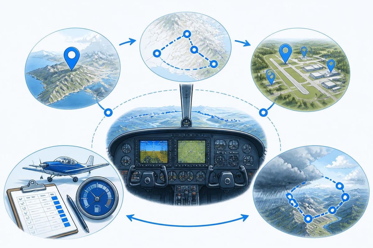
Route selection balances ambition with safety margins. Start by identifying your destination, then work backwards through required fuel reserves, suitable alternates, and weather escape routes.
Choosing Destinations and Waypoints
Select waypoints that offer navigational certainty and decision points. For a backcountry aviation adventure, mark ridges, valleys, and visual checkpoints that confirm your position without relying solely on GPS. For coastal routes, identify headlands, lighthouses, and reporting points that double as fuel-diversion options.
Cross-reference each airstrip or destination against current Recreational Aviation Foundation resources for field conditions, local procedures, and recent pilot reports. Grass strips can be soft after rain; gravel can be loose in summer heat. A 2,400-foot strip at sea level is generous; at 6,000 feet density altitude on a warm afternoon, it's marginal for a loaded Cessna 182.
| Destination Type | Key Planning Considerations | Recommended Alternate Criteria |
|---|---|---|
| Backcountry strip | Surface condition, density altitude, approach/departure paths, local winds | Paved field within 30 nm, lower elevation, fuel available |
| Coastal airfield | Sea-breeze timing, fog risk, over-water segments, radio coverage | Inland alternate outside marine-layer influence, IFR-equipped |
| Mountain airport | Runway slope, one-way operations, performance at altitude, terrain clearance | Lower-elevation field with longer runway, within glide range of high terrain |
| Night cross-country | Runway lighting, populated areas for forced landing, instrument backup | Multiple lit fields along route, IFR approaches if VMC marginal |
Calculate fuel for the planned route plus reserve to the farthest alternate, then add 30 minutes. If your aviation adventure involves high terrain or over-water legs, consider an additional 15-minute margin for terrain avoidance or headwind error.
Weather Briefing and Go/No-Go Criteria
Weather planning separates optimism from airmanship. Obtain a full briefing from Aviation Weather Center or your national meteorological service, focusing on forecast movement of fronts, cloud bases, visibility, and wind at altitude.
For mountain flying, afternoon thermal activity builds convective clouds and turbulence. Plan departures early, before midday heating generates lee-side rotors and updrafts that exceed your aircraft's climb capability. The AOPA mountain flying guide recommends crossing ridges with 2,000 feet of clearance and turning toward lower terrain at the first sign of downdrafts exceeding 500 feet per minute.
Coastal aviation adventures face marine layers and sea-breeze fronts that move inland unpredictably. If your coastal route includes an afternoon return leg, confirm the forecast for sea-breeze onset and fog formation. A 10-knot onshore wind can push a fog bank 15 nautical miles inland in 90 minutes, closing VFR alternates you planned to use.
Pre-departure weather checklist:
- METARs and TAFs for departure, destination, and all alternates
- Area forecast valid for the entire flight duration plus two hours
- Winds aloft at cruise altitude and one altitude band above
- AIRMETs and SIGMETs along the route, especially for turbulence, icing, and convective activity
- NOTAMs for runway closures, navaid outages, and airspace restrictions
Establish personal weather minimums stricter than regulatory VFR. If you require 3,000 feet of ceiling and five miles visibility for a backcountry aviation adventure, brief the entire crew (or passengers) on those limits and commit to turning back if conditions deteriorate below them.
Aircraft Preparation and Performance Calculations
Your aviation adventure relies on aircraft performance you've calculated, not guessed. Use the pilot's operating handbook for your specific aircraft, adjusted for actual weight, temperature, pressure altitude, and runway condition.
Weight and Balance for Adventure Loading
Adventure flights often carry camping gear, survival equipment, extra fuel, or passengers unfamiliar with light-aircraft loading. Weigh every bag. Calculate the centre of gravity for each loading scenario: departure, after one hour of fuel burn, and at destination.
A Cessna 172 with two adults, full fuel, and 100 pounds of baggage in the rear compartment may be aft of the aft CG limit, reducing elevator authority and stall margins. Move the baggage forward or reduce fuel to departure reserves plus the leg to the first refuelling stop.
Common weight-and-balance errors on adventure flights:
- Assuming "light" baggage without weighing it (camping gear and tools are heavier than expected)
- Ignoring CG shift as fuel burns from wing tanks (affects high-wing aircraft less than low-wing)
- Loading rear seats and baggage area simultaneously without recalculating CG
- Using outdated aircraft empty weight (avionics upgrades, interior changes add pounds forward or aft)
For backcountry strips, performance matters more than legality. A Piper PA-18 within CG limits but at max gross weight will struggle to clear trees on a 2,000-foot strip at 5,000 feet density altitude. Reduce weight by 10 per cent or wait for cooler temperatures.
Takeoff and Landing Distance Calculations
Calculate required distances for the worst-case scenario: highest temperature, lowest pressure, uphill slope, and soft or rough surface. The AFM provides sea-level, hard-surface figures. Add 15 per cent for grass, 25 per cent for gravel, and 50 per cent for soft turf or sand.
A Cessna 182 requires 1,520 feet ground roll at sea level, 15°C, on a paved runway at max gross weight. At 6,000 feet pressure altitude and 25°C, that figure becomes approximately 2,800 feet on pavement. On a grass strip, add another 420 feet (15 per cent). If the strip slopes uphill two per cent, the effective ground roll exceeds 3,400 feet. The strip must offer at least 4,000 feet to maintain a 50-per-cent safety margin.
| Aircraft Type | Sea Level Ground Roll (15°C) | 6,000 ft PA / 25°C Ground Roll | Grass Strip Penalty | Minimum Safe Strip Length |
|---|---|---|---|---|
| Cessna 172 | 960 ft | 1,780 ft | +267 ft (15%) | 3,070 ft |
| Cessna 182 | 1,520 ft | 2,800 ft | +420 ft (15%) | 4,000 ft |
| Piper PA-18 | 500 ft | 920 ft | +138 ft (15%) | 1,600 ft |
| Cirrus SR22 | 1,517 ft | 2,800 ft | +420 ft (15%) | 4,000 ft |
Never assume published distances are conservative. They reflect test-pilot technique, new brakes, and a perfectly smooth surface. Your aviation adventure demands margins for real-world conditions: a slightly long roundout, a gust during rotation, or a patch of softer grass midfield.
Logging and Tracking Your Adventure Hours
Every aviation adventure builds experience you'll rely on for the next one. Accurate logging captures not just flight time but the lessons, weather decisions, and terrain you encountered.
Recording Cross-Country and Backcountry Time
Cross-country time earns licence credit only if the flight meets the regulatory definition: for FAA purposes, a landing at a point more than 50 nautical miles from the original departure (straight-line distance). EASA defines cross-country as a flight to a destination at least 50 kilometres (27 nautical miles) away via a full-stop landing.
Log backcountry and mountain time separately, even if your authority doesn't require it. Insurance underwriters, employers, and proficiency-check examiners ask for off-airport experience. A logbook for aviation that tags flights by environment (backcountry, night, coastal, mountain) lets you report 78 backcountry hours across 34 strips in six states without reconstructing your history from memory.
Fields to log after an aviation adventure:
- Departure and destination ICAO codes (or GPS coordinates for off-airport strips)
- Route flown, including diversions or weather deviations
- Aircraft type, registration, and PIC or dual time
- Day/night landings, especially on grass, gravel, or high-elevation strips
- Instrument approaches (if any) and actual or simulated IMC time
- Remarks: density altitude, special procedures, lessons learned, field conditions
Pilotlog Pro tracks rolling 28-day and 365-day totals for flight time and duty, ensuring you stay within commercial or airline limits even when mixing adventure flying with professional work. It flags passenger currency, night recency, and IFR approach requirements automatically, giving you a single pre-flight check for legal readiness.

Building Skills Through Progressive Adventure Flying
The best aviation adventure challenges your competence without exceeding it. Plan a progression that starts within familiar airspace and builds toward remote strips, high terrain, and multi-day expeditions.
First Adventure: Local Cross-Country with New Airspace
Choose a destination 100 to 150 nautical miles away that requires transiting Class C or Class B airspace you haven't used before. File VFR flight following, brief the route with a CFI or experienced pilot, and plan fuel stops at towered airports with services.
This aviation adventure teaches you to manage ATC communications under workload, track your position in complex airspace, and handle arrival procedures at unfamiliar fields. The safety net is high: radar coverage, frequent alternates, and controlled airports with weather reporting and instrument approaches.
Second Adventure: Backcountry or Grass Strip
Progress to a well-maintained grass or gravel strip within 50 nautical miles of a paved alternate. The AOPA Backcountry Resource Center lists beginner-friendly strips with pilot reports, photos, and recommended approach paths.
Fly with an instructor rated for tailwheel or backcountry operations if you're new to soft-field technique. Land early in the morning when the air is smooth and the strip is firm. Walk the runway before departure to check for rocks, ruts, or soft patches. Log the experience, noting density altitude, wind, and any technique adjustments (wheel landings vs three-point, power settings on soft ground).
Third Adventure: Mountain or High-Elevation Cross-Country
Plan a route through mountain passes or to an airport above 5,000 feet elevation. Study the terrain, identify escape routes for each valley, and calculate performance at the highest density altitude you'll encounter.
Mountain aviation adventures demand respect for weight, temperature, and wind. A 10-knot tailwind through a pass can become a 30-knot headwind on the return leg, halving your climb performance and doubling your fuel burn. The FAA Safety Briefing includes recent case studies of mountain flying accidents; review them before your trip.
Progressive skill-building checklist:
- Local cross-country with Class B/C transition and unfamiliar towered airports
- Grass or gravel strip within gliding range of paved alternates
- High-elevation field (above 4,000 feet) on a cool morning with performance margin
- Mountain pass crossing with CFI or experienced mountain pilot
- Multi-day expedition combining backcountry, high terrain, and weather decision-making
Each step adds complexity while keeping risk manageable. After 20 hours of cross-country adventure flying across varied terrain and weather, you'll recognize your limits and make better go/no-go calls than any algorithm can.
International Aviation Adventures and Regulatory Variations
Planning an aviation adventure beyond your home country introduces customs, international flight plans, and differences in airspace and licensing rules.
Cross-Border Flight Planning
File an international flight plan (ICAO format) at least one hour before crossing a national border. Include your aircraft registration, pilot licence number, estimated time en route, and alternate airports in each country. Confirm your licence privileges are recognised under bilateral agreements; FAA licences fly in most ICAO states, but some require an ICAO compliant licence or temporary validation.
Carry proof of insurance valid in the destination country, aircraft registration, airworthiness certificate, radio licence, and pilot logbook. Some states require a general declaration (GenDec) or advanced notice for customs and immigration. The ICAO EUR regional safety report summarises procedural differences across European states; similar reports exist for other ICAO regions.
Documents required for international aviation adventures:
| Document | Purpose | Typical Validity |
|---|---|---|
| Pilot licence with English-language endorsement | Proof of competency recognised by destination state | Varies; FAA indefinite, EASA 5 years |
| Medical certificate (Class 1 or 2) | Fitness to fly; accepted under ICAO annex provisions | 6 to 60 months depending on class and age |
| Aircraft registration | Proof of nationality and ownership | Permanent or renewed every 3 years (FAA) |
| Airworthiness certificate | Confirms aircraft meets destination state standards | Permanent (but annual inspection required) |
| Radio station licence | Legal operation of VHF/HF transmitter | Varies by state; some exempt general aviation |
| Insurance certificate | Liability coverage meeting destination minimum | Annual, with specific limits per state |
Land at an airport of entry (AOE) with customs and immigration facilities. Notify the facility at least one hour before arrival (or as required by local regulation). Budget an extra 30 to 60 minutes for clearance procedures.
European Aviation Adventures Under EASA
EASA member states share common licensing (Part-FCL) but maintain national differences in airspace classification, VFR minima, and flight-plan requirements. An aviation adventure from the UK to France requires a flight plan filed through Eurocontrol, transponder with Mode S, and compliance with French VFR weather minimums (often stricter than UK outside controlled airspace).
The EASA Annual Safety Review analyses trends in general-aviation accidents across Europe; midair collisions in uncontrolled airspace and controlled-flight-into-terrain remain leading causes, emphasising the value of flight following and terrain awareness during adventure flying.
Verify your Part-FCL licence includes the correct class or type rating for the aircraft you'll fly. A UK-issued PPL(A) with SEP(land) class rating is valid across EASA states, but national supplements may require radio-telephony endorsement in the local language for certain airspace classes.
Survival Gear and Emergency Planning
An aviation adventure over remote terrain demands equipment for an unplanned night (or several nights) outdoors.
Minimum Survival Kit for Backcountry Adventures
Pack layered clothing, fire-starting materials, water purification tablets, high-calorie food, and a first-aid kit. Add a personal locator beacon (PLB) or satellite messenger; cellular coverage is absent in most backcountry areas.
Essential survival items for remote aviation adventures:
- PLB (406 MHz) or satellite communicator registered with your national authority
- Fire-starting kit: lighter, waterproof matches, magnesium striker
- Water purification tablets or filter (1 litre per person per day minimum)
- High-calorie ration bars or trail mix (2,000 calories per person)
- Emergency shelter: bivy sack, space blanket, or lightweight tarp
- Signalling: whistle, mirror, brightly colored tarp or panel
- First-aid kit with bandages, antiseptic, pain relief, blister treatment
- Multi-tool or knife, paracord (50 feet), duct tape
Stow survival gear where it's accessible after an off-airport landing: a backpack in the baggage area, not buried under camping gear. Brief passengers on its location and use.
Emergency Procedures and Communication
Before each leg of your aviation adventure, brief your emergency plan: forced-landing areas, nearest airports, ATC frequencies, and search-and-rescue contact numbers. File a flight plan or activate flight following so ATC knows your route and expected arrival time.
If you divert for weather or mechanical reasons, close your flight plan or notify ATC immediately. Search-and-rescue teams launch when a filed plan isn't closed within 30 minutes of the estimated arrival time; false alarms waste resources and risk rescuers.
Carry a handheld aviation radio as backup. If your panel radio fails over remote terrain, a handheld VHF transceiver lets you contact ATC, relay position reports, and request assistance. Test it before departure and keep spare batteries in the survival kit.
Post-Flight Review and Continuous Improvement
The learning from any aviation adventure happens after shutdown, when you review what worked, what didn't, and what you'll change next time.
Debrief and Logbook Notes
Write detailed remarks in your flight logbook while the flight is fresh: weather encountered versus forecast, actual fuel burn versus planned, density-altitude performance, and any ATC or navigation challenges. Note the winds aloft you experienced; they're often 20 degrees different from the forecast and 10 knots stronger.
If you flew with another pilot, debrief together. Discuss decision points (the turn-back for weather, the go-around on the backcountry strip, the fuel stop you added), and identify what you'd do differently. A five-minute conversation after landing captures lessons you'll forget by next week.
Key debrief questions after an aviation adventure:
- Did actual weather match the forecast? Where were the biggest differences?
- Were fuel reserves adequate? Did you arrive with the planned minimum?
- Did performance match AFM predictions? Were takeoff and landing distances as calculated?
- Were your personal weather minimums appropriate, or would you tighten them?
- What radio frequencies, waypoints, or procedures would you brief more thoroughly next time?
Use a best digital logbook for pilots that lets you tag flights and add custom fields. Tag each aviation adventure by type (mountain, backcountry, coastal, night cross-country) so you can filter your logbook and count hours in each category when an insurance underwriter or employer asks.
Currency and Proficiency Tracking
Currency is regulatory; proficiency is personal. You can be current (three landings in 90 days) but not proficient (rusty on crosswind technique, slow on radio calls). After an aviation adventure that pushed your skills, schedule a proficiency flight with a CFI to polish the rough edges.
Track your currency automatically with Pilotlog's currency tracking, which calculates day, night, IFR, and passenger-carrying recency in real time. Set alerts 30 days before a currency window closes so you can plan refresher flights before your next aviation adventure.
Rules change; always confirm current requirements against official sources (FAA, EASA, or your national CAA) before planning any flight.
An aviation adventure is more than a cross-country flight; it's deliberate skill-building, careful planning, and the confidence to operate beyond familiar airspace while staying within your limits. Whether you're logging backcountry strips, crossing mountain passes, or island-hopping along a coastline, each adventure demands accurate currency tracking, detailed logbook records, and pre-flight preparation that turns ambition into safe flying. Pilotlog keeps your hours, currency, and expiries accurate and accessible, so you spend less time calculating recency and more time planning the next flight that will sharpen your airmanship and remind you why you fly.
- cross-country flying
- backcountry flying
- mountain flying
- pilot currency
- flight planning
A logbook that keeps itself.
Join the waitlist and be first in line when Pilotlog launches.
Free to join, no spam. Unsubscribe any time.