backcountry flying
Backcountry Pilot: Skills, Training & Currency in 2026
8 Sep 2026 · 13 min read
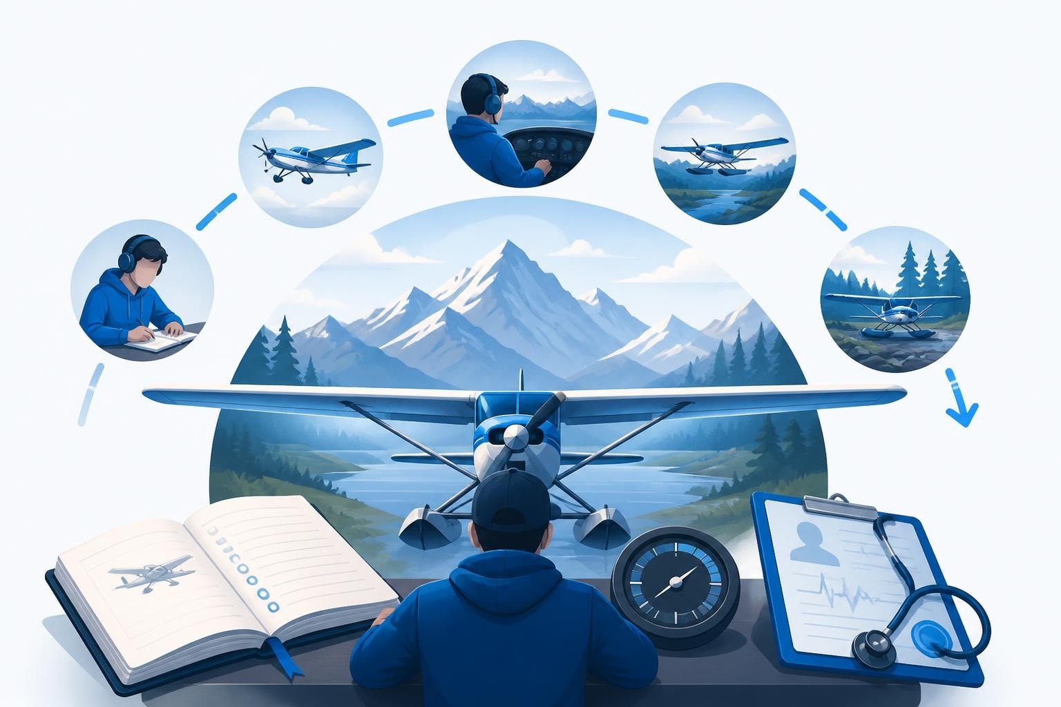
A backcountry pilot is a certificated aviator trained and current to operate safely on unimproved, remote, or mountainous airstrips where short runways, high density altitude, and complex terrain demand precision stick-and-rudder skills, disciplined planning, and sound aeronautical judgement. Unlike pilots who fly solely from paved runways, the backcountry pilot manages steep approaches, one-way strips, and rapidly changing mountain weather as routine. This specialism requires deliberate training, ongoing currency, and meticulous record-keeping to stay sharp and legal.
What Defines a Backcountry Pilot
The term backcountry pilot describes both a skill set and a mindset. You hold a private pilot licence or higher, meet medical and currency requirements, and have sought additional instruction tailored to off-airport operations.
Core attributes include:
- Proficiency in short-field and soft-field techniques: repeatable, disciplined execution of short approaches and maximum-performance take-offs.
- Mountain and terrain awareness: understanding density altitude, wind shear, downdrafts, and how ridges and valleys shape airflow.
- Self-reliance: carrying survival gear, extra fuel, tools, and the knowledge to self-recover or manage an unplanned overnight.
- Airstrip research and reconnaissance: studying strip diagrams, inspecting surfaces on foot when possible, and coordinating with land managers or local operators.
A backcountry pilot never assumes conditions remain static. Weather, runway surface, and obstacles change seasonally and daily.
The Legal Foundation
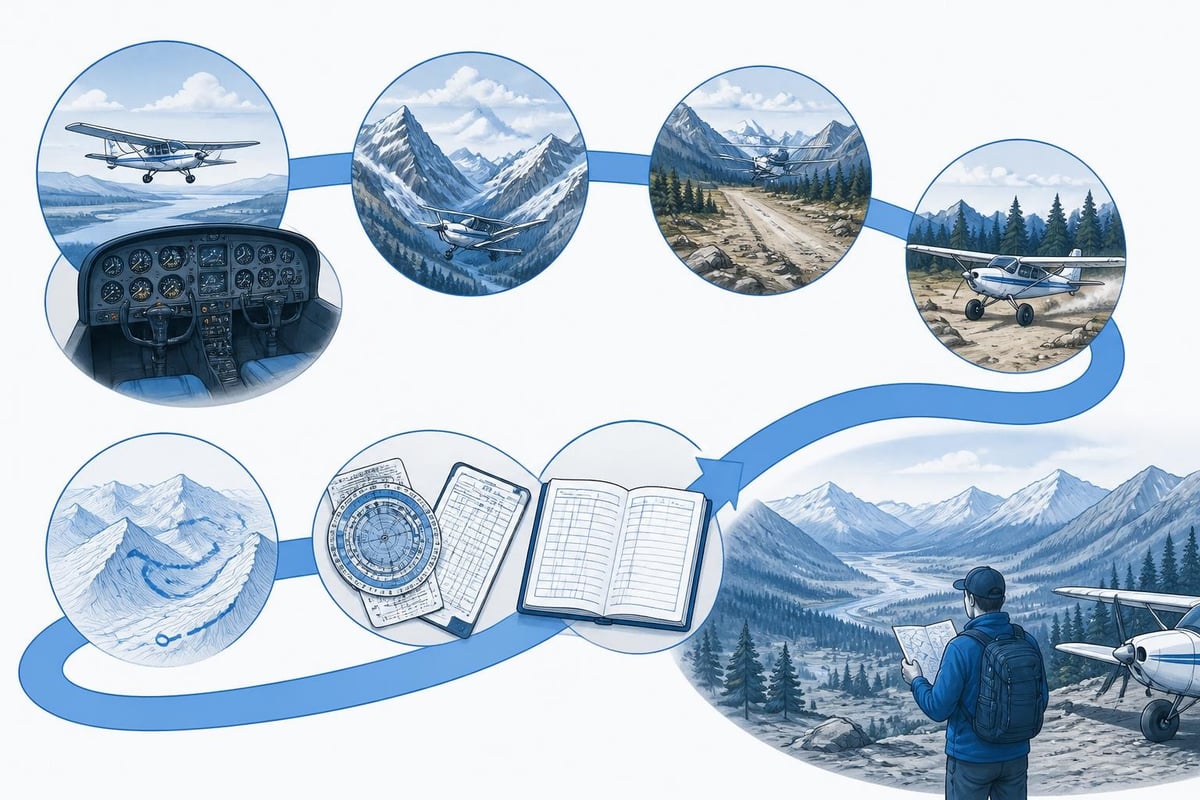
No separate backcountry rating exists under FAA or EASA Part-FCL regulations, but you must hold a valid pilot licence and current medical. Currency rules still apply: for example, to carry passengers in the United States, you need three take-offs and landings in the preceding 90 days in the same category and class (14 CFR 61.57). For tailwheel aircraft, that currency must include full-stop landings in a tailwheel aeroplane.
If operating in instrument meteorological conditions near terrain, IFR currency under 14 CFR 61.57(c) becomes essential. Many backcountry strips sit below controlled airspace, but approaches through mountain passes or over ridges can place you closer to terrain than any instrument approach you've flown, making VFR currency and proficiency non-negotiable.
The AOPA Air Safety Institute Backcountry Resource Center consolidates FAA and industry guidance into structured learning pathways that help pilots build knowledge systematically.
Training Pathways and Endorsements
Becoming a backcountry pilot starts with dual instruction from an experienced mountain or backcountry instructor. This is not covered in basic PPL syllabi. You need bespoke ground and flight training that addresses the unique hazards and techniques.
Formal Courses and Clinics
Specialist schools and clinics offer structured courses ranging from two-day introductions to week-long mountain and canyon flying programmes. Topics typically include:
- Density altitude and performance calculation: understanding how altitude, temperature, and humidity degrade engine power and aerodynamic performance, and applying manufacturer charts to predict take-off distance and climb rate.
- Mountain weather: recognising lenticular clouds, rotors, and downslope winds; interpreting METAR and TAF data in complex terrain; and using the National Weather Service mountain-wave guidance to assess turbulence risk.
- Strip reconnaissance and approach planning: identifying slopes, obstacles, and preferred approach corridors; performing overhead surveys; and choosing abort points.
- Emergency procedures: forced landings in mountainous terrain, survival equipment checklists, and communication with search and rescue.
Upon completion, you receive a logbook endorsement and, in many cases, a certificate of training. This documentation supports insurance underwriting and demonstrates due diligence.
Tailwheel and Conventional-Gear Transition
Many backcountry strips favour tailwheel aeroplanes because of their robustness on rough surfaces and favourable ground-handling characteristics. If you trained in tricycle-gear aircraft, a tailwheel endorsement is essential. Under 14 CFR 61.31(i), you need ground and flight training, and a one-time logbook endorsement, before acting as pilot in command of a tailwheel aeroplane.
Tailwheel training sharpens rudder discipline, crosswind technique, and awareness of directional control-all critical when landing on a 300-metre gravel strip with a quartering tailwind.
Recurrent Practice and Proficiency
One-off training is the start, not the finish. Backcountry piloting demands ongoing practice. You should schedule recurrent dual at least annually with a qualified instructor, revisiting short-field landings, go-arounds from unstable approaches, and simulated engine failures over terrain.
Recent AOPA guidance on transitioning into backcountry operations emphasises early planning, density-altitude awareness, and choosing the right time of day. Morning departures exploit cooler temperatures and denser air, improving climb performance in high country.
Currency and Logbook Discipline
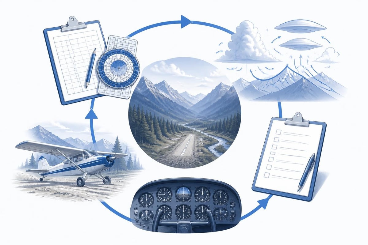
Currency is the bridge between training and safe operations. As a backcountry pilot, you track not only the regulatory minimums but also personal proficiency gates that reflect your recent experience in terrain, conditions, and aircraft type.
Tracking Take-Offs and Landings
The 90-day currency clock under 14 CFR 61.57 requires three take-offs and landings in the preceding 90 days. For backcountry operations in tailwheel aeroplanes, all three must be full stops. If you primarily fly from paved runways, a week-long gap can erode the fine rudder and throttle coordination needed for a sloping grass strip.
A digital pilot logbook helps by automatically calculating rolling currency windows. You log each sector, and the system flags when currency lapses or is about to expire. No spreadsheet updates or manual counting.
Density Altitude and Strip-Specific Hours
Beyond regulatory currency, many backcountry pilots maintain internal minimums tied to environmental and strip conditions. For example, you might require five landings at a given strip before carrying passengers, or 10 hours of mountain time logged in the preceding 180 days before attempting a new high-elevation airfield.
Recording density altitude at departure and arrival in your logbook creates a performance history. Over time, you spot trends: your Cessna 180 climbs 200 feet per minute less at 7,000 feet density altitude than at sea level; your ground roll increases by 30 per cent. Those numbers inform go/no-go decisions on hot summer afternoons.
IFR Currency in Mountain Areas
If you hold an instrument rating and occasionally transition through cloud or IMC near terrain, IFR currency under 14 CFR 61.57(c) requires six instrument approaches, holding, and intercepting/tracking courses within the preceding six calendar months. Operating VFR-only simplifies currency tracking but limits flexibility when weather closes in.
Many backcountry pilots maintain IFR currency to preserve options, even if most flying is VFR. A current rating enables legal transition above a cloud layer or navigation in marginal conditions that would otherwise ground you.
Medical and Licence Expiries
Backcountry flying often involves remote locations days from the nearest Aviation Medical Examiner. A lapsed medical grounds you instantly. Class 1, 2, or 3 medicals have defined validity periods depending on your age and certificate class. Tracking expiry dates 60 or 90 days in advance gives time to book an appointment and complete renewal before lapse.
Pilotlog Pro sends alerts for licence and medical expiries, flagged well ahead of the deadline, so nothing catches you by surprise. It also tracks rolling flight-time and duty limits, passenger currency, and night currency, building a comprehensive picture of your legal and proficiency status.

| Currency Type | Regulatory Basis (US) | Recommended Personal Minimum |
|---|---|---|
| Take-offs & landings (day) | 3 in 90 days (61.57) | 5 in 60 days at similar strips |
| Tailwheel | 3 full stops in 90 days (61.57) | 3 full stops in 30 days |
| IFR (if rated) | 6 approaches, hold, tracking in 6 months (61.57) | Current plus 2 practice approaches monthly |
| Medical (Class 3, under 40) | 60 calendar months | Renew at 54 months |
| Personal mountain time | None | 10 hours in preceding 6 months |
Strip Research and Pre-Flight Planning
Every backcountry strip presents unique challenges. Surface type, length, slope, elevation, obstacles, and local weather all shape your planning.
Official and Informal Sources
Start with published data. The Recreational Aviation Foundation maintains a directory of backcountry airstrips across the United States, with notes on condition, ownership, and access restrictions. State and regional organisations, such as the Idaho Aviation Foundation, publish detailed strip guides with diagrams, photos, and condition reports.
Land-management agencies publish operational standards. The Great Basin Interagency Mobilization Guide includes airstrip identification criteria and standards used by federal and state agencies, useful when coordinating operations on public lands.
Cross-reference published data with recent pilot reports. Online forums, social media groups, and direct contact with local operators provide real-time updates on surface condition, closures, and hazards.
Calculating Performance
Performance planning moves from advisory to mandatory in the backcountry. You need density altitude, take-off distance, and climb gradient for every departure. Use the aeroplane's Pilot Operating Handbook charts, adjusted for weight, temperature, altitude, and wind.
Example calculation:
- Strip elevation: 1,800 metres (5,905 feet)
- Temperature at departure: +28°C
- Pressure altitude: 1,850 metres (6,070 feet)
- Density altitude: approximately 2,600 metres (8,530 feet)
- Aircraft: Cessna 182, gross weight 1,200 kg
- POH chart indicates ground roll: 520 metres; total distance to clear 15-metre obstacle: 890 metres
- Available runway: 600 metres, upslope 2 per cent
With a 600-metre strip and 890-metre requirement, you do not depart at that weight and temperature. Options: wait for cooler morning air, reduce weight, or choose a longer strip.
Recording these calculations in your logbook or flight-planning app creates an auditable trail and sharpens your judgement over time.
Weather Decision-Making
Mountain weather changes rapidly. A clear dawn can turn into afternoon thunderstorms, and ridge-top winds can double in strength within an hour. Check METAR and TAF for nearby airports, but recognise they may be valleys away and report conditions unrepresentative of your destination.
Use satellite imagery, webcams, and local weather observations. The National Weather Service mountain-wave guidance explains how lenticular clouds and rotor turbulence form, helping you interpret visual cues.
Set personal weather minimums higher than regulatory VFR. Many backcountry pilots require 3,000 feet AGL cloud base and 10 kilometres visibility as a floor, and adjust upward for unfamiliar terrain or challenging strips.
Aircraft Selection and Equipment
The backcountry pilot chooses aeroplanes and equipment matched to mission and environment.
Airframe Characteristics
Ideal backcountry aeroplanes combine short take-off and landing performance, robust landing gear, and good low-speed handling. Common types include:
- Cessna 180/185: six-seat utility aircraft with tailwheel configuration, high-lift wings, and proven reliability.
- Piper Super Cub / CubCrafters variants: tandem two-seat taildraggers with exceptional STOL performance and light wing loading.
- Aviat Husky: modern two-seat design optimised for bush operations, with large tyres and strong gear.
- Maule series: four-seat STOL aircraft with robust construction and favourable power-to-weight ratio.
Modifications such as oversized tyres, vortex generators, extended-range fuel tanks, and STOL kits enhance capability but require proper certification and logbook entries. Any modification affects weight and balance and performance charts.
Survival and Emergency Equipment
Regulatory requirements for survival equipment vary by jurisdiction and route. In Canada, for example, survival equipment regulations differ depending on season and distance from population centres. Consult the Transport Canada Aeronautical Information Manual for official Canadian guidance.
Recommended equipment includes:
- Emergency Locator Transmitter (ELT) with current battery and test date
- First-aid kit tailored to remote operations
- Fire-starting materials, shelter, and signalling devices
- Spare oil, tools, tyre repair kit, and tie-down ropes
- Adequate food and water for an unplanned overnight
- Satellite communicator or Personal Locator Beacon (PLB)
Log the installation and inspection dates of ELTs and survival gear in your logbook to maintain an audit trail and ensure compliance.
Learning from Accidents and Incidents
Safety data informs better decisions. The NTSB Annual Report to Congress analyses accident trends, including those in off-airport and remote operations. Reviewing case studies highlights recurring factors: inadequate performance margin, density altitude miscalculation, loss of directional control on uneven surfaces, and continuation into deteriorating weather.
Many accidents involve experienced pilots who became complacent or deviated from their own procedures under external pressure. Maintaining discipline around checklists, weather minimums, and go/no-go criteria is not bureaucracy; it is survival.
Participate in safety programmes and accident-review seminars. Anonymous reporting systems, such as the Aviation Safety Reporting System (ASRS), allow pilots to share close calls without penalty, building collective knowledge.
Building a Backcountry Logbook History
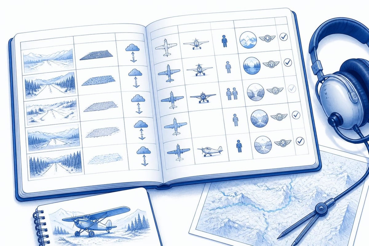
Your logbook tells the story of your backcountry career. Beyond regulatory compliance, it captures progression, experience diversity, and proficiency trends.
Categories to Track
A comprehensive pilot flight logbook records:
- Strip names and identifiers: creates a personal strip history and simplifies insurance and checkout paperwork.
- Runway surface: grass, gravel, dirt, sand; tracking surface diversity demonstrates broad experience.
- Density altitude at departure and arrival: quantifies environmental challenge and supports performance review.
- Dual vs. solo vs. PIC with passengers: shows currency and progression.
- Aircraft type and configuration: tailwheel vs. tricycle, normally aspirated vs. turbocharged, STOL mods.
Digital logbooks streamline this. You log a flight once, and the system auto-populates totals, currency windows, and trend graphs. Searching your logbook for "all landings at strip X" or "all flights above 2,000-metre density altitude" takes seconds, not hours.
Trend Analysis and Proficiency Audits
Review your logbook quarterly. Are you maintaining currency across aircraft types? Has your mountain time dropped below your personal minimum? Are your approaches stable, or do go-arounds cluster in certain conditions?
Trends reveal training gaps. If you log frequent go-arounds on one-way strips, schedule dual focused on approach energy management and sight picture. If density-altitude departures consistently feel marginal, revisit performance planning and consider reducing passenger or baggage load.
Linking your logbook to flight time limits and currency cheat sheets ensures you operate within both regulatory and personal boundaries.
Community and Stewardship
Backcountry aviation thrives on shared knowledge and collective stewardship. Pilots, landowners, and agencies collaborate to preserve access and improve safety.
Airstrip Maintenance and Reporting
Many backcountry strips are volunteer-maintained. Organisations like the Recreational Aviation Foundation coordinate work parties to clear brush, repair erosion, and mark hazards. Participating in maintenance builds community, deepens your understanding of strip characteristics, and earns goodwill with land managers.
After each visit, file a condition report. Note surface issues, new obstacles, wildlife activity, or weather anomalies. Sharing this information helps the next pilot make informed decisions and supports long-term strip preservation.
Coordinating with Land Managers
Backcountry strips often sit on public land managed by the Forest Service, Bureau of Land Management, or state agencies. Understand access policies, seasonal closures, and fire restrictions. Agencies publish operational standards and coordination protocols; the Great Basin Interagency Mobilization Guide is one example of multi-agency collaboration.
Respectful communication with land managers preserves access. Demonstrate that pilots are responsible stewards, not a liability.
Mentorship and Knowledge Transfer
Experienced backcountry pilots mentor newcomers through formal instruction and informal guidance. Offer to accompany less-experienced pilots on their first visits to a challenging strip, or organise local fly-ins that combine skill-building with social connection.
Mentorship strengthens the community and improves overall safety. Knowledge passed pilot-to-pilot complements formal training and fills gaps that no syllabus can cover.
The Ongoing Journey
Becoming a backcountry pilot is not a one-time achievement. It is a commitment to continuous learning, disciplined currency tracking, and honest self-assessment. The skills you build open access to extraordinary destinations and deepen your connection to flying, but they demand respect and humility.
Regulations change, and you should confirm current requirements against official sources before making operational decisions. Today's guidance may evolve as safety data and best practices emerge.
Backcountry flying combines precision airmanship, disciplined planning, and deep respect for terrain and weather. Tracking your currency, proficiency, and strip-specific experience ensures you stay legal, sharp, and confident. Pilotlog keeps your logbook current, flags expiries before they surprise you, and gives you the data to make better decisions-whether you are building hours toward a commercial licence or simply keeping your backcountry skills sharp.
- backcountry flying
- mountain flying
- tailwheel endorsement
- pilot currency
- density altitude
A logbook that keeps itself.
Join the waitlist and be first in line when Pilotlog launches.
Free to join, no spam. Unsubscribe any time.